Onlayn Kadastr Sistemi
Kadastr bir ərazidəki xüsusi torpaq sahələrinin qeydidir. Bu sahələr sistematik olaraq nömrələnir, hər birinin ətrafı və parsel identifikatoru böyük ölçülü xəritədə göstərilir. Həm xəritədə, həm də qeydiyyat dəftərində bu sahənin təbiəti, ölçüsü, dəyəri və hüquqları göstərilir.
Sistemin imkanları
Bu sistem sizə aşağıdakı imkanları yaradır
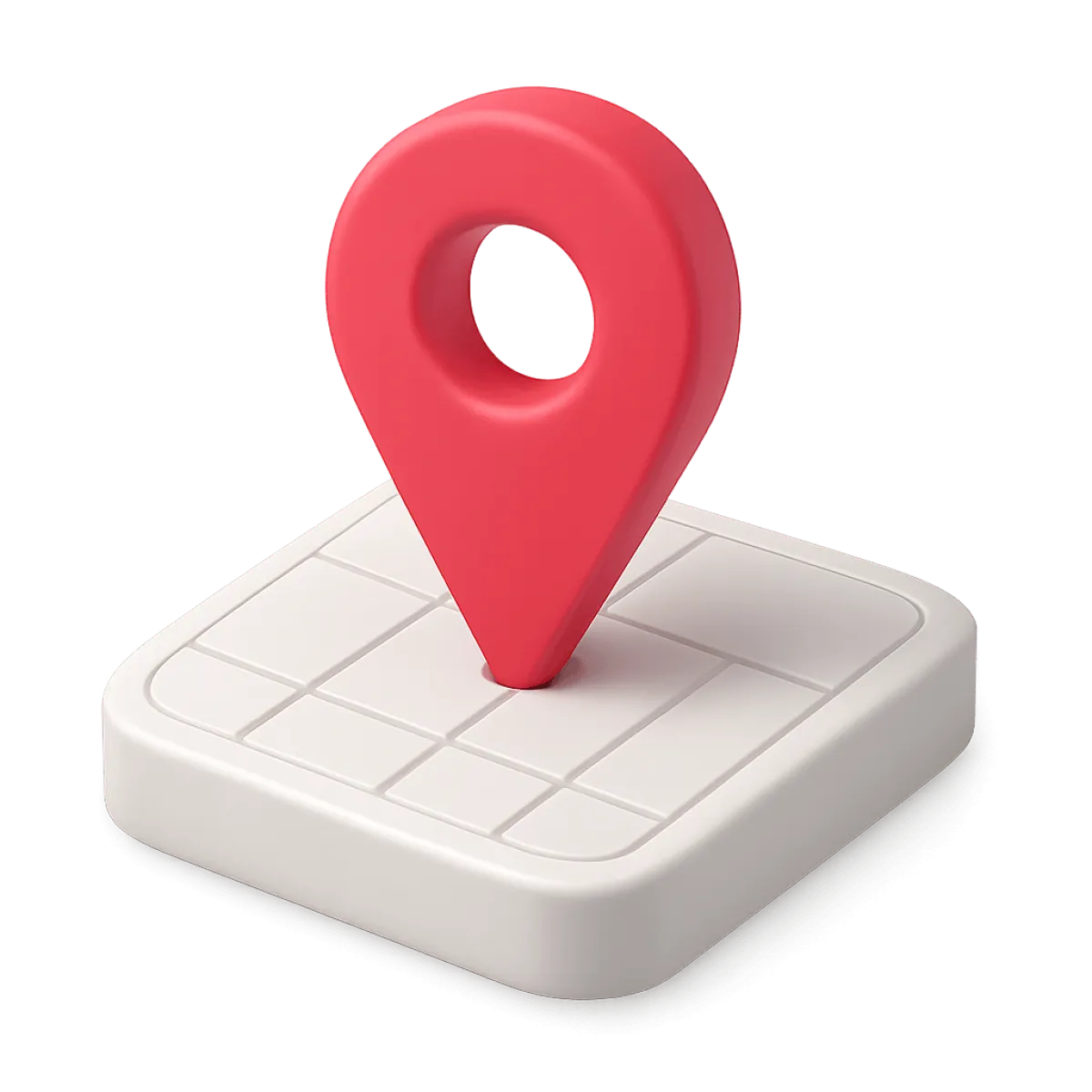
Koordinat nöqtəsini təyin etmək
Xəritə üzərində daxil edilmiş hər hansısa bir koordinat nöqtəsinə getmək
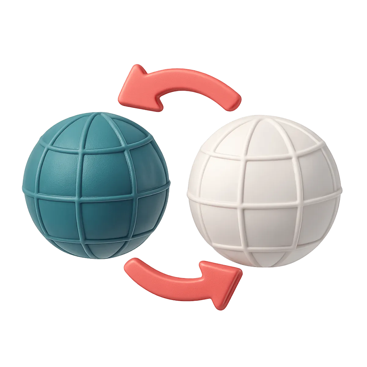
Koordinatların çevrilməsi
Müxtəlif koordinat sistemlərinin bir-birinə çevrilməsi funksiyası
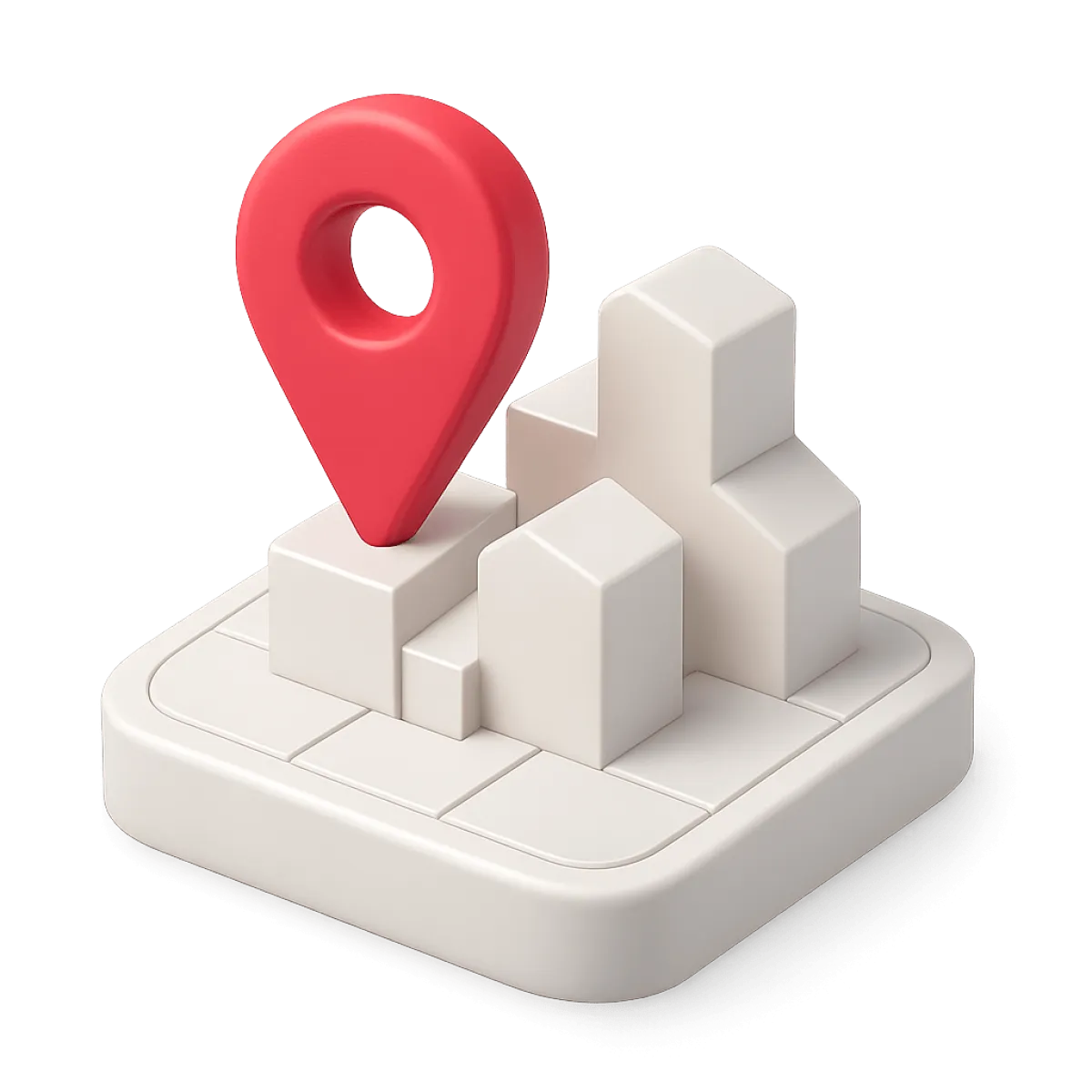
Obyekti təyin etmək
Koordinat nöqtələrindən əmələ gələn obyekti xəritə üzərində görmək

Tezliklə daha əlavə imkanlar...
Sistem təkmilləşdirilir. Tezliklə daha çox imkanlardan yararlana biləcəksiniz